Syllabus: GS3/Science and Technology
Context
- The Indian Space Research Organisation (ISRO) launched its historic 100th launch from the Satish Dhawan Space Centre in Sriharikota.
About
- GSLV F15 carried the NVS-02 navigation satellite placing it into a Geosynchronous Transfer Orbit.
- The NVS-02 is the second satellite in the NVS series, and part of India’s Navigation with Indian Constellation (NavIC).
- It is designed to provide accurate positioning services across India.
- GSLV-F15 is the 17th flight of India’s Geosynchronous Satellite Launch Vehicle (GSLV) and 11th flight with Indigenous Cryo stage.
- Over these 100 launches ISRO has lifted 548 satellites to orbit.
| Geosynchronous Transfer Orbit – The GTO allows satellites to be positioned into geostationary orbits, where they can maintain a fixed position relative to the Earth’s surface. – This is crucial for communication and weather satellites that need to monitor specific areas continuously. |
NVS Series
- These are five second-generation NavIC satellites — NVS-01 to NVS-05 and are planned to enhance the existing constellation.
- These satellites incorporate L1 band communication, which broadens NavIC’s compatibility and usability for diverse applications.
- NVS-01, the first of the second-generation satellites, was launched in 2023.
- For the first time, an indigenous atomic clock was flown in NVS-01.
- NVS-02 will help improve NavIC’s services, which are used for navigation, precision agriculture, emergency services, fleet management, and even mobile device location services.
- It also has a precise atomic clock called the Rubidium Atomic Frequency Standard (RAFS) for accurate timekeeping.
NavIC
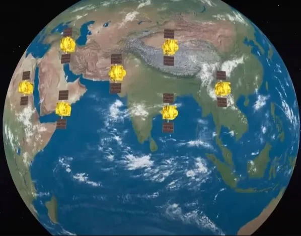
- It is a regional navigation satellite system established by Indian Space Research Organisation (ISRO).
- NavIC was erstwhile known as Indian Regional Navigation Satellite System (IRNSS).
- NavIC is designed with a constellation of 7 satellites and a network of ground stations operating 24 x 7.
- Three satellites of the constellation are placed in geostationary orbit and four satellites are placed in inclined geosynchronous orbit.

- The ground network consists of a control centre, precise timing facility, range and integrity monitoring stations, two-way ranging stations, etc.
- NavIC offers two services: Standard Position Service (SPS) for civilian users and Restricted Service (RS) for strategic users.
- It provides location accuracy better than 20 meters and timing accuracy better than 40 nanoseconds across the core service area.
- The NavIC coverage area includes India and a region up to 1,500 kmbeyond the Indian boundary.
- NavIC SPS signals are interoperable with the other global navigation satellite system (GNSS) signals namely GPS, Glonass, Galileo and BeiDou.
Significance
- The first batch of IRNSS satellites launched in the previous decades has been successful in establishing the Personal Navigation Device (PND) services in the country.
- The NVS series is the second generation of these satellites that are progressively being deployed to further strengthen the PND ecosystem in the nation.
- NVS supports various applications, including strategic uses, vessel tracking, time synchronization, train tracking, and life safety alerts.
Source: TH
Previous article
China’s Recent Nuclear Fusion Breakthrough
Next article
News In Short 30-1-2025